New Mexico dealing with below normal snowpack
[anvplayer video=”5014428″ station=”998127″]
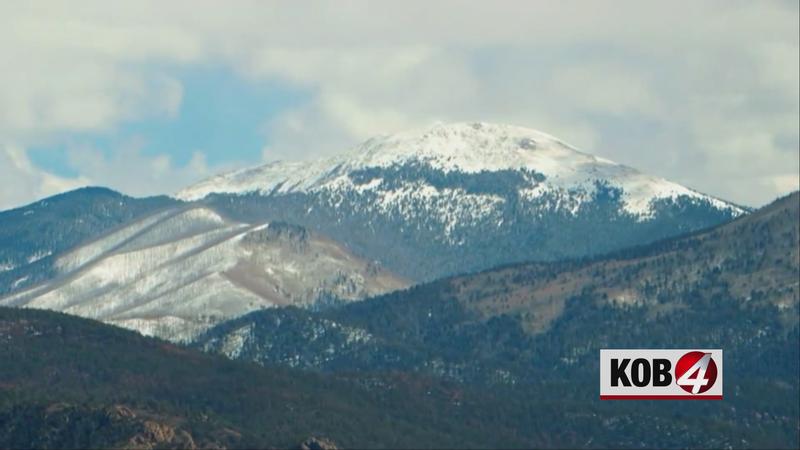
ALBUQUERQUE, N.M.- The March 2021 Basin Outlook Report, released earlier this month, shows New Mexico’s snowpack at a high of 96% of normal in the Rio Grande Head Waters to a low of 3% percent of normal in the Rio Hondo Basin, in south central New Mexico.
"Really, statewide just about every basin is below normal," said Scott Overpeck, meteorologist with the National Weather Service.
The state is about 77% of average. At the same time in 2019, New Mexico was at 89% of average snowpack.
"2018 was a really bad year when it came to snowpack," Overpeck said. "We’re not that bad, but we’re worse off than we were last year in 2019, and some of the snowpack probably compares closer to the trends we saw in 2011 and 2012."
Due to the below normal snowpack, the runoff forecast isn’t looking strong.
"When that snow melts, more than likely it’s going to go into the ground, it’ll go into the soils," Overpeck said. "It’s not going to run off too much."
The impact will also be felt during fire season, which typically begins in late March.
The longer the state can hold onto snowpack, the shorter window there will be for significant fire activity.
However, some variables come into play.
"How much moisture is in the ground, how much moisture is in some of the vegetation, hat kind of green up, how things become green during the spring then it’s going to depend on the storm systems we get across New Mexico," Overpeck said. ""We’re going to keep our fingers crossed for more precipitation and hopefully our fire season is minimal."